3D Laser scanning and Measurement will reduce your project risks
Read our Australian Mining Review Article Here
CONSTRUCTION – CIVIL – ENGINEERING – HERITAGE – MARINE – MINING – MANUFACTURE – ARCHITECTURE – UTILITIES – INSURANCE – CLADDING – FACADES – WASTE AND WATER TREATMENT INFRASTRUCTURE
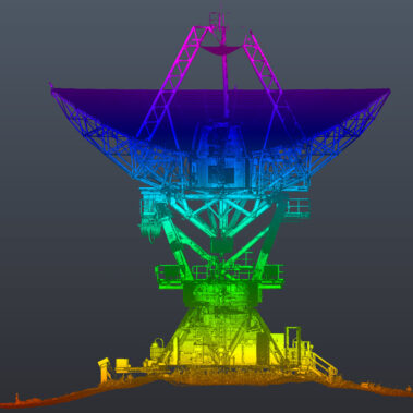
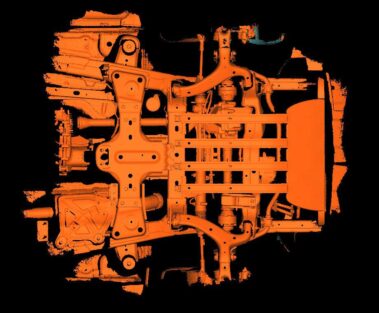
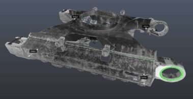
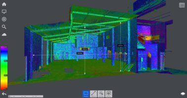
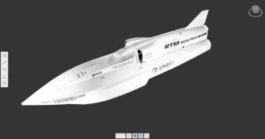
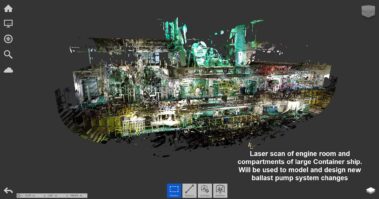
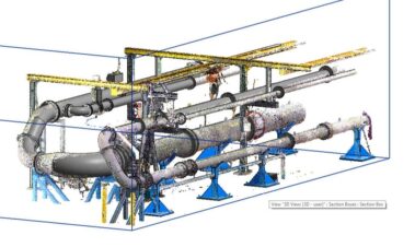
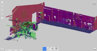
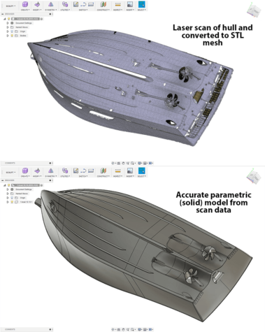
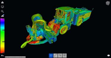
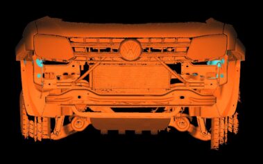
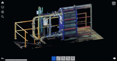
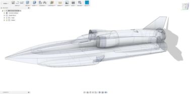
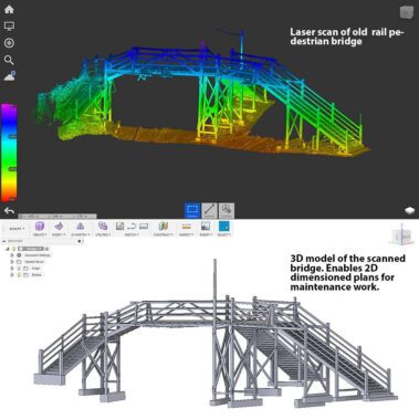
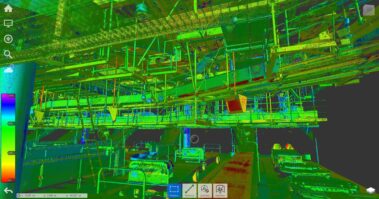
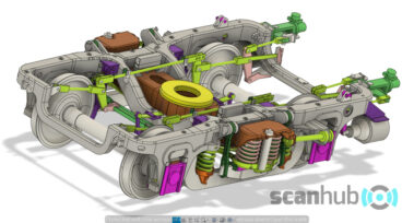
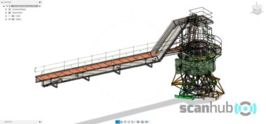
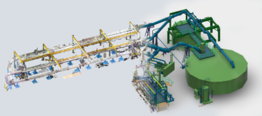
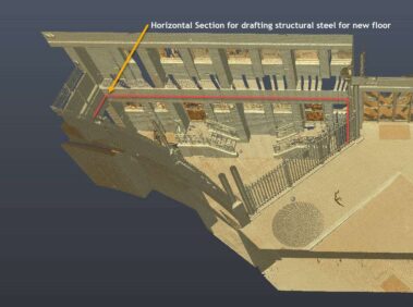
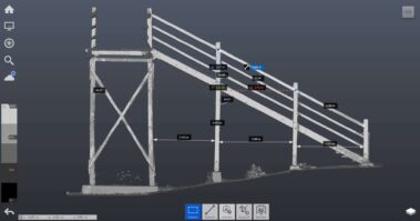
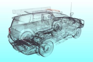
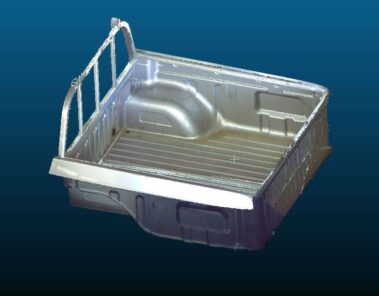
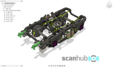
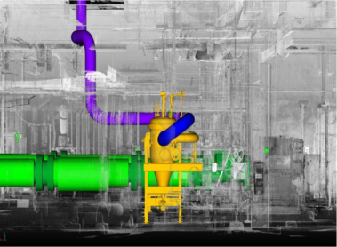
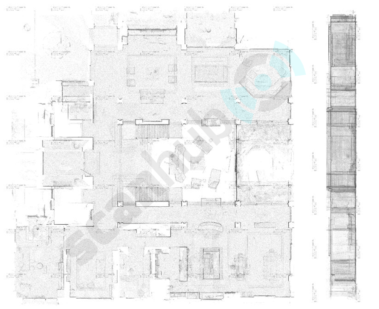
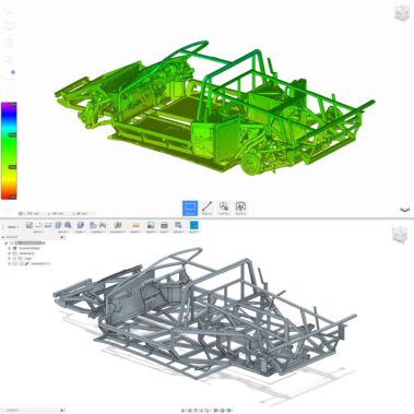
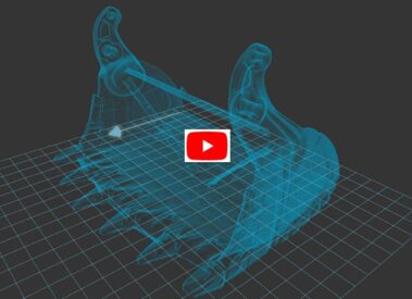
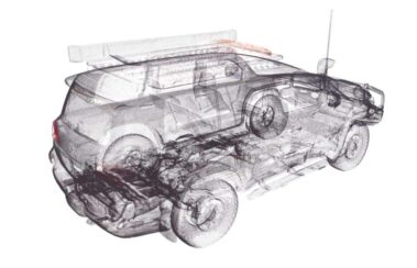
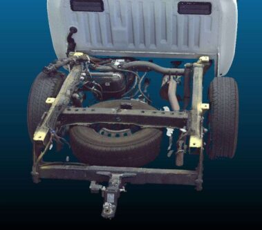
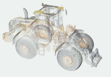
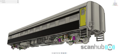
Aided with the latest laser 3D laser scanning and software technologies, our skilled team will capture environments and objects efficiently and accurately. In essence, we capture reality in 3D and we’re helping to transform the world into a digital landscape. The scope of applications for 3D laser scanning and CAD modelling is many and growing. The built environment and objects can be scanned with millions of 3D points in minutes and stored as a 3D point cloud with millimeter measurement accuracy. Point cloud data can be converted to mesh files or directly imported and modelled in most CAD tools.
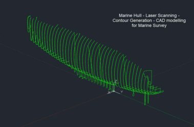
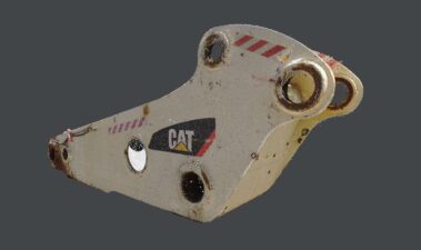
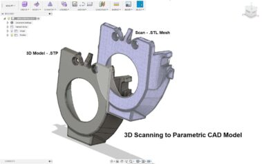
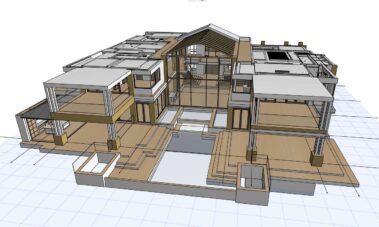
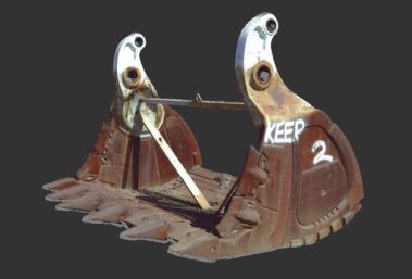
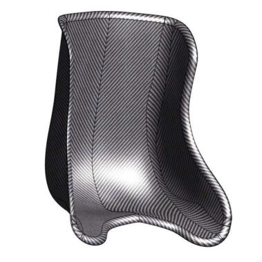
While much of our work is in scanning commercial, domestic, industrial, marine, engineering, civil and heritage objects and sites for measurement and modelling, we also scan objects for manufacturing and reverse engineering. There are many applications for our 3D laser and CAD modelling services. Our team of highly skilled professionals can transform the 3D scanned point cloud data into output formats that are the foundation for virtual walkthrough’s, product and structural design, as built documentation, visualization, and analysis as well.
- Site measurement scanning for Engineers, Architects and Designers
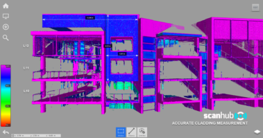
- Cladding and Facade scanning and measurement
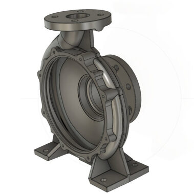
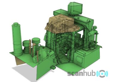
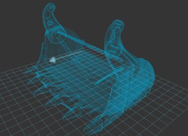
- Reverse engineering of objects and sites into CAD Models
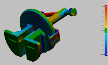
- 3D product inspection and measurement
- Scanning for precise structural and floor deformation measurement
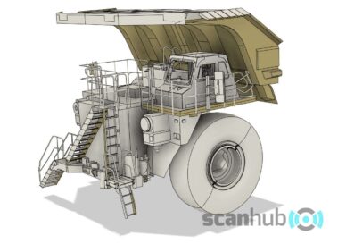
- Measurement of complex mechanical structures and machinery
- Benefits plant and building maintenance and refurbishment
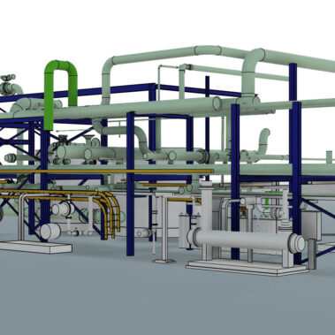
- Waste water and water treatment plant and infrastructure scanning/modelling
- Commercial and Domestic Exterior and Interior 3D Feature Surveys
- Drainage analysis and erosion control and storm water treatment
- Before and after comparison
- Verifying as-built against plan – integrating construction progress into BIM
- Heritage preservation, protection and renovation
- Eliminate time consuming & error prone manual survey measurements
Project Gallery
Some of our valued clients
[logoshowcase slides_column=”6″ dots=”false” autoplay_interval=”2000″ speed=”1500″ ticker=”true”]

